Borders look permanent on a map. Up close, some of them are held together with medieval paperwork and surveying mistakes. Here are four of the strangest, and the very human reasons they zigzag the way they do.
Before you read: which border below was created by a surveying error?
The US-Canada border along the 49th parallel. The treaty drew a straight line. The surveyors couldn’t hold it, and their markers wander an average of 90 meters off the true parallel. The border is legally defined as the markers, not the latitude, so the “straight” border zigzags for thousands of kilometers.
The town that belongs to two countries at once
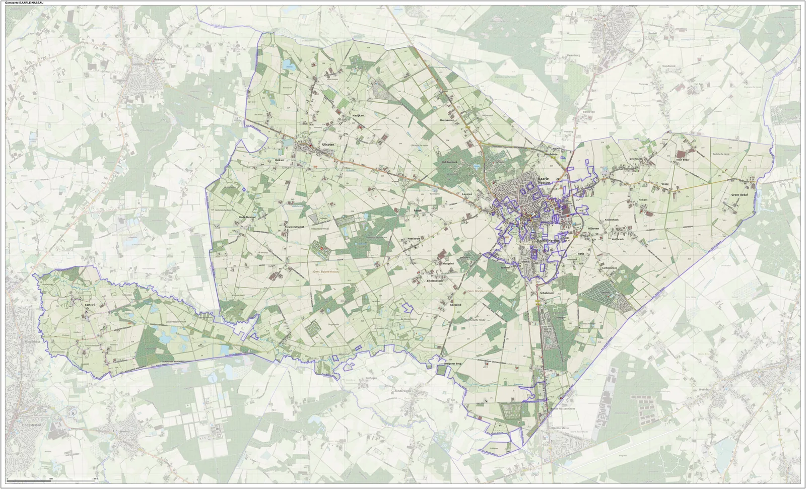
Baarle, on the Dutch-Belgian border, is two towns occupying the same streets. Twenty-two pieces of Belgium sit inside the Netherlands, and seven pieces of the Netherlands sit inside those Belgian pieces. The border runs through houses, shops, and cafes, marked by white crosses in the pavement. Your nationality is decided by which country your front door opens into.
It goes back to land trades between feudal lords in the 1100s and 1200s. When Belgium split from the Netherlands in the 1830s, nobody could draw a clean line through the mess, so an 1842 treaty just kept the status quo. The paperwork outlived the kingdoms that wrote it.
The straight line that isn’t straight
The US-Canada border was supposed to be the clean one. The 1818 treaty drew it straight along the 49th parallel. But 19th-century surveyors couldn’t hold the line, and their markers wander an average of 90 meters off the true parallel. The treaty defines the border as the markers, not the latitude, so the official border zigzags. In forested stretches, both countries maintain a six-meter-wide cleared strip called the Slash, running about 2,000 kilometers.
The panhandle that led nowhere
Namibia has a panhandle 450 kilometers long called the Caprivi Strip. It exists because in 1890, Germany traded the island of Heligoland to Britain in exchange for this corridor, which was supposed to give German South-West Africa access to the Zambezi River and a trade route east. The plan had one flaw. The Zambezi isn’t navigable there. Victoria Falls sits right in the way.
The country nobody wants
Egypt and Sudan both claim the Halaib Triangle, and as a side effect, neither claims Bir Tawil, a patch of desert between them. It’s one of the few places on earth outside Antarctica that no country claims. The mess comes from two different lines: an 1899 political boundary drawn straight along a parallel, and a 1902 administrative boundary drawn around tribal areas. Each country recognizes the version that gives it Halaib, which leaves Bir Tawil claimed by no one.
Over to you
Which of these would you most want to stand on? The doorstep in Baarle where your nationality changes when you step outside, or the middle of Bir Tawil, claimed by no one? Tell me in the comments. And if you know a border weirder than these four, I want to hear about it.
Keep exploring
Enjoy this? Get 10 maps that will change how you see the world, free.
Leave a Reply